RAS100 Robotic Aerial Scanner
Automated scanning and processing
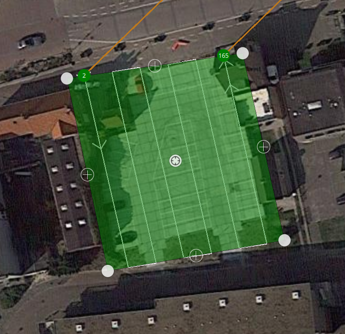
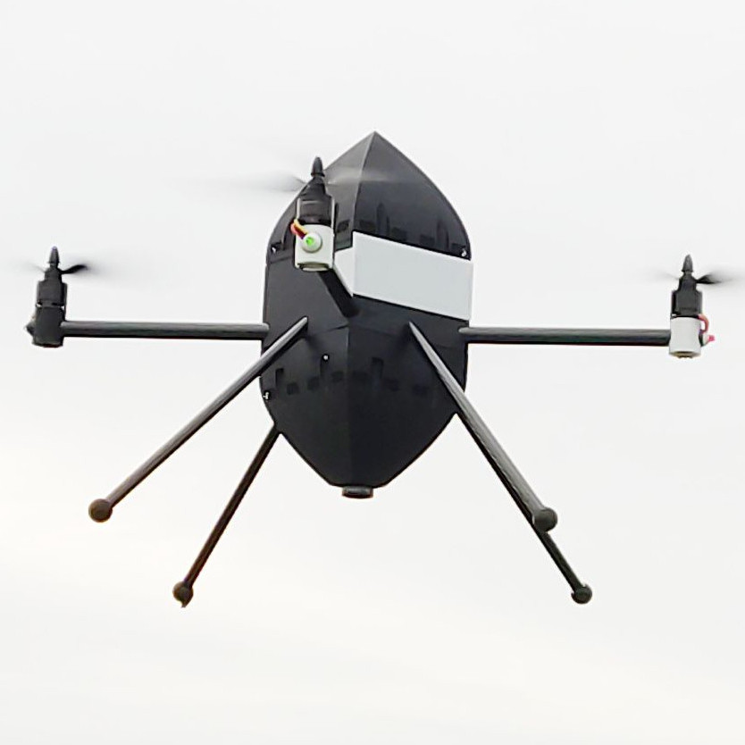
The Celemation RAS100 is a small, portable drone. All the user has to do, is select the area to be scanned. The vehicle flies over an area in an automated fashion, taking images. These images are automatically converted into a 3D model as soon as the vehicle lands.
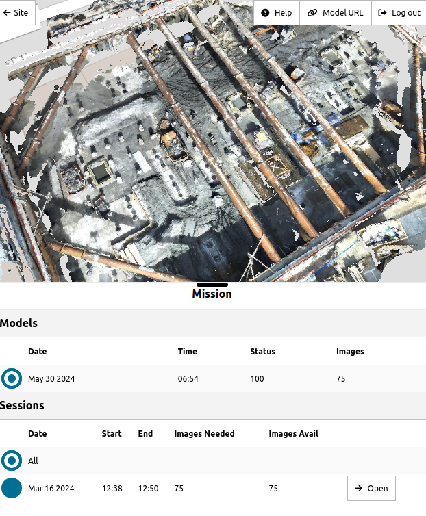
After the vehicle lands, automated processing is started directly. The scan will appear immediately in the web application, which is also accessible from mobile devices.
Online 3D data viewer
After processing is completed, the 3D model can be viewed online. To use the 3D model in GIS applications such as QGIS, the application currently allows exporting to an external GIS software using the 3D Tiles format.
The web application shows all the areas that are scanned on a map, and shows details about all flights and images for these scans.
Ease-of-use and automation
The focus of the product is on ease-of-use. Since everything is automated:
- Scanning can be performed on a routine basis
- Operator training requirements are minimized.
- Due to lower labour and training requirements, 3D scanning with the RAS100 becomes feasible for applications that would previously not be worth it.


